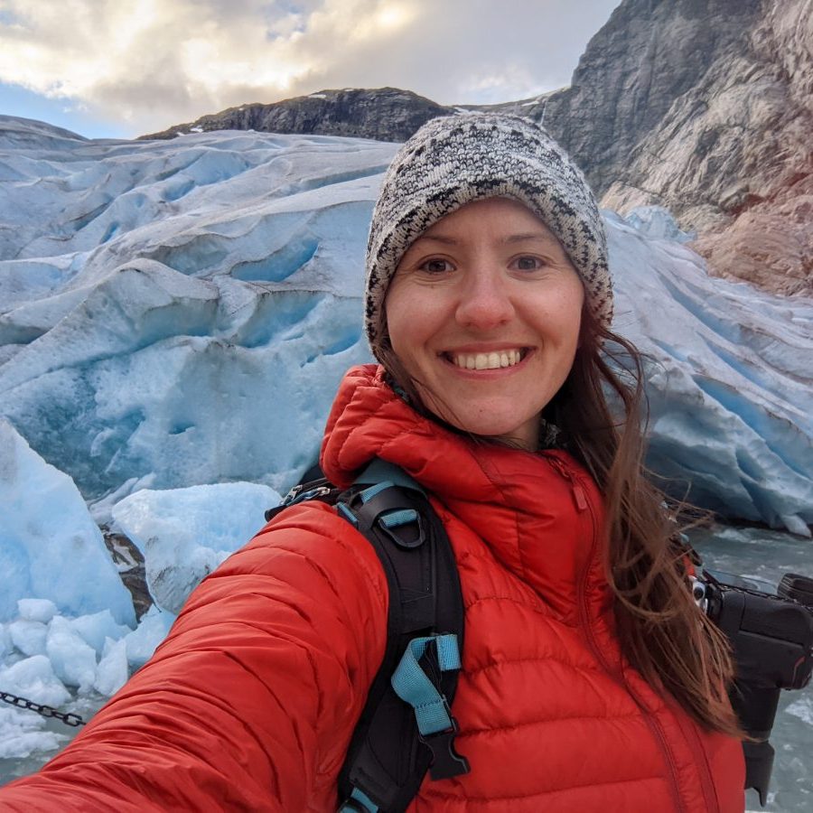
The Ötztal Alps in Austria are home to many glaciers. Tyrol’s highest peak, Wildspitze, is also located here. At 3774 meters, it is the second-highest mountain in Austria. You can follow in my footsteps along this 3-day, 2-night trek across the Ötztal Alps and see them all yourself. Once again, I will share my step-by-step guide for planning the trek, from maps and elevation profiles for each day and photos to information on which mountain huts to book and more.


Ötztal Alps Trek: planning logistics
Important info about the trail
The Ötztal Alps are a mountain range in the Central Eastern Alps. One line of its summits forms part of the border between Austria and Italy. They are probably best known internationally for the discovery of Ötzi the Iceman, a 5,000-year-old well-preserved mummy of a man.
This 3-day/2-night traverse starts in Obergurgl at the end of the Oetz Valley. The end is in the small village of Vent in the Rofen Valley, which branches off the Oetz Valley. You will also pass Vent on the second day. The trail passes by many glaciers and Wildspitze, Tyrol’s highest peak. Don’t worry, despite the high altitude, you never cross any glaciers, so no special equipment or mountaineering experience is required to do this trek.
Due to the high altitude, the time window to hike it is very short. The dates also correspond with the Hohe Mut gondola opening times, which you have to take on the first day.
When to go: mid-July to mid-September
Days Required: 3-5
Total Distance: 47.2 km / 29.3 mi
Total Elevation Gain: 1920 m / 6300 ft
Highest point: Ramoljoch 3189 m / 10462 ft
Trail Difficulty: Hard
Map required: Kompass Ötztal Alps
Nearest towns: Obergurgl, Vent, Soelden
The map & elevation profile of the entire trail
Getting there
The trek starts with a two-tier gondola ride to Hohe Mut Alm. The bottom station is in the centre of Obergurgl. It is possible to reach the village by car or public transport. However, since the trek ends at a different location, I think taking the bus is a better idea.
By public transport
Bus number 320 operates between Ötztal Bahnhof train station and Obergurgl (Zentrum) every 30 minutes. It travels the entire length of the Oetz Valley, so you can get off at whatever village you are staying the night before.
By car
There are two parking garages in Obergurgl, but parking in both is limited to 24 hours. Your best bet is to leave your car at the parking lot for the Hochgurglbahn station and then take the bus into Obergurgl.
TIP: Use Google Maps or the VVT (Verkehrverbund Tirol) app to check for connections. You can also purchase tickets directly on the VVT app.
The average daily cost of hiking the trail
Prices in the huts hover around 60-70 Euros/night for the Alpine Club members and 70-80 for non-members. Those include a bed for the night, dinner and breakfast (so-called half board). On top of that, you have to account for gondola rides, lunches, snacks and drinks. Budgets vary widely, and there is no upper limit on how much one can spend. Personally, I try to spend no more than 120 Euros per person per day on hut-to-hut treks.
Where to stay before the hike
Ötz Valley is a famous Austrian ski destination. Mostly known for its ski resorts in Soelden, Obergurgl and Oetz. In the summer, they all turn into a hikers and bikers paradise. Thanks to the above, there are hundreds of accommodation options in the entire valley. Below are just a couple of my recommendations.
Best Value
Explorer is a small chain of hotels that offers great value for money. The one in Umhausen in the Oetz Valley is only 40 minutes by car or 1 hour by bus away from Obergurgl.
Top Rated
This hotel is located within a 3-minute walk from the Hohe Mut gondola. If you stay here, you will definitely be well rested before you start your trek.
Ötztal Alps Trek: day-by-day breakdown
Ötztal Alps Trail Day 1: Obergurgl to Ramolhaus via Langtalereck Hut
Distance
16.6 kilometres / 10.3 miles
Elevation gain/loss
1220 m (4000 ft) / 860 m (2820 ft)
Time required
7-8 hours


The map & elevation profile of day 1
Trail breakdown
The first day starts with a gondola ride to the Hohe Mut Alm. The gondola starts running at 9 AM, so try to catch the first one. Follow the trail no. 30, which traverses a wide ridgeline towards the Rotmoosferner glacier. This was a pretty easy warm-up for me, and we were able to enjoy the views without panting too much.
Once you reach the viewpoint, you will then descend on trail no. 31 into the bottom of the Rotmoostal valley. Keep your eyes peeled for the marking points that show how far the glacier reached just a century ago. Follow the valley until you reach Schönwieshütte. From here, trail no. 922 climbs on a gravel road to Langtalereck hut. On a good weather day, you should see Ramolhaus when looking Southwest.
Up until now, it has been pretty smooth sailing. The last 4 kilometres of day 1 are the hardest. After the Langtalereck hut, the trail drops slightly to the bottom of the Langtal valley, crosses a small bridge, and then starts climbing sharply on trail no. 36 to Piccard Bridge. There are some tricky sections secured with steel cables, so pay attention to your footing. The Piccard Bridge is a 142-meter-long suspension bridge built in 2017, after the previous route was deemed too dangerous due to Rockfall. The bridge was named after the Swiss explorer Auguste Piccard, who made Obergurgl famous when he accidentally landed his balloon on the Gurglerferner glacier after completing the first successful stratospheric flight in 1931.
After you cross the bridge, you will begin a sharp and seemingly never-ending ascent to Ramolhaus. There is still a 600-meter elevation difference between the bridge and the hut. I reached the hut just in time for dinner. The 3-course meal that night was well-earned.
Overnight stay & lunch possibilities
There are two huts that offer lunch possibilities on the first day. The first one is the Schönwies hut, 8.3 km into the hike. The second one is the Langtalereckhut, 12.3 kilometres into day 1. This is where I stopped for a longer break and lunch.
TIP: You can split day 1 into two sections and add a night at the Langtalereckhut.
Ramolhaus is where you will spend your first night. It was built at 3,006 meters above sea level, with a direct view of the Gurgl Glacier. The views and location of the hut are among the best in Tyrol. It’s also a fantastic place for stargazing, speaking from experience. The rooms are very comfy and don’t feel overcrowded, unlike some other huts I’ve stayed in. Given its high elevation, don’t expect a shower or a gourmet dining experience.


Ötztal Alps Trek Day 2: Ramolhaus to Vernagt Hut via Vent & Breslauer Hut
Distance
17 kilometres / 10.6 miles
Elevation gain/loss
630 m (2070 ft) / 1580 m (5180 ft)
Time required
8-9 hours


The map & elevation profile of day 2
Trail breakdown
Day 2 begins with a short climb to Ramol Pass (3189 m / 10462 ft). We left the hut straight after breakfast to enjoy the lovely light at the pass and to take advantage of the cool morning air on the ascent. We reached the pass after 45 minutes. Ramoljoch is the highest point of this trek, and you will certainly feel the slightly thinner air on the approach. Here, you will get a first glimpse of Wildspitze, Tyrol’s highest peak.
From the pass, you will begin a long and at times arduous descent to Vent (1895 m). In this section, you will lose over 1300 meters in elevation. Once you reach Vent, take the two-tier Wildspitze chairlift to 2646 meters. By taking the chairlift, you will save yourself 700 meters of ascent, so it was a no-brainer.
On the second part of day 2, follow trail no. 919 known as the Seuffert way first to the Breslauer hut (2844 m), traversing underneath Wildspitze, then to the Vernagt hut. This was a very enjoyable hike with beautiful views of Kreuzspitze, Kreuzkogel, Sennkogel and Saykogel mountains. My favourite part was the alpine tarns, where I could photograph the reflections of the above-mentioned peaks.
TIP: If you think day 2 will be too difficult, stay an extra night at one of the hotels in Vent and continue the trek the next day.
Overnight stay & lunch possibilities on day 2
You can have lunch in one of the hotel restaurants in Vent, which you will reach after hiking 8.1 kilometres. If you prefer to have lunch in a high alpine environment, you can wait until you reach the Breslauer hut, 1.8 kilometres later, counting from the top of the chairlift station (10 kilometres into the day). Breslauer Hut is the gateway to summiting Wildspitze. For that reason, I wouldn’t recommend staying here overnight, as most people here get up at 4 AM to start the trek, so you won’t be able to sleep much past that hour. Learn from my mistake.
For the second night of the Ötztal Alps Trek, I recommend booking a room at the Vernagt Hut (also known as the Würzburgerhaus). The hut was built at an altitude of 2755 meters above sea level and has undergone extensive maintenance over the past few years.


Ötztal Alps Trail Day 3: Vernagt Hut to Vent via Hochjochhospiz Hut
Distance
13.6 kilometres / 8.5 miles
Elevation gain/loss
60 m (200 ft) / 910 m (2990 ft)
Time required
5 hours


The map & elevation profile of day 3
Trail breakdown
The last day of the Ötztrak trek continues along the Seuffert way with a short descent, then a traverse beneath the Hochvernagtspitze peak, followed by a descent to Hochjochhospiz. I arrived at the hut 2 hours after leaving the Vernagt hut.
The next 8 kilometres follow the Cyprian Granbichler way (trail no. 902), which runs along the Rofen stream in the Rofen valley. Eventually, you will arrive in Rofen village. To reach Vent, cross the suspension bridge and follow the Barteb’ne way for another half hour.
Lunch possibilities on day 3
Hochjochhospiz (2413 m) is the last hut on the Ötztal Alps Trek, and you will reach it after hiking 5.1 kilometres on day 3. The hut is located at the end of the Rofan valley. Grab a lunch here before tackling the last 8 kilometres to Vent.
Onward travel
Depending on whether you arrived by public transport or by car, you have a couple of options.
- It takes 50 minutes by bus to get back to Obergurgl from Vent. You will need to change once in Zwieselstein.
- If you want to get to Innsbruck, the next-largest city, you can take a bus from Vent to Oetztal Bahnhof train station (ca. 1 hour) and then a train to Innsbruck (33 minutes). Innsbruck is well-connected to other European cities. It only takes 2 hours by train to reach Munich in Germany or Bolzano in the Italian Dolomites.
FAQ about the Oetztal Alps Trail
To book Ramolhaus, you can send an email with a request to info@edelweiss-gurgl.com. Reservations for the Vernagt hut are made via the Alpine Club website. You will first need to set up an account.
I recommend booking as soon as the reservations open for the season, which is generally January. The sooner you book, the higher the chances that you get spots in the exact huts, where you plan on staying and maybe even secure a private room to yourself.
The coverage is generally pretty good, apart from a few blind spots. Due to closeness to the Italian border, if you are roaming, you might sometimes pick up signal from Italian cell coverage providers. Always remember to inform your friends or loved ones about your plans and let them know you might be out of phone reach for a few days. For your own safety always write your name down in the notebooks in the huts. It’s a standard practice on multi-day trails in Europe.
No, you don’t. If you want you can turn this hike into a 2-day adventure and finish in Vent after spending the night in Ramolhaus and descend from the Ramol Pass.
No, apart from hut reservations, you don’t need any permits to hike this trek.
The number one rule is not to overpack. Duvets or blankets, as well as food and water, are provided in the huts. I have a comprehensive hut-to-hut packing list which should come handy.
There are some short passages, secured with steel ropes, on day 1 between Langtalereck hut and Piccard bridge and on day 2 when crossing the Ramol pass. I did the route without via ferrata gear, but if you’re not comfortable on exposed sections and prefer to stay clipped in, bring the via ferrata set. The via ferrata sections are of beginner difficulty with A/B rating. To know what it means check out my beginner’s via ferrata guide.
Most huts prefer cash payments over cards and since this is only a 3-day, 2-night trek I would recommend just bringing cash.
The areas around the huts are used as pastures for cows and sheep and the streams can be contaminated with animal feces. I would recommend sticking to the filtered water in the huts. You can refill when doing lunch stops.